-
-
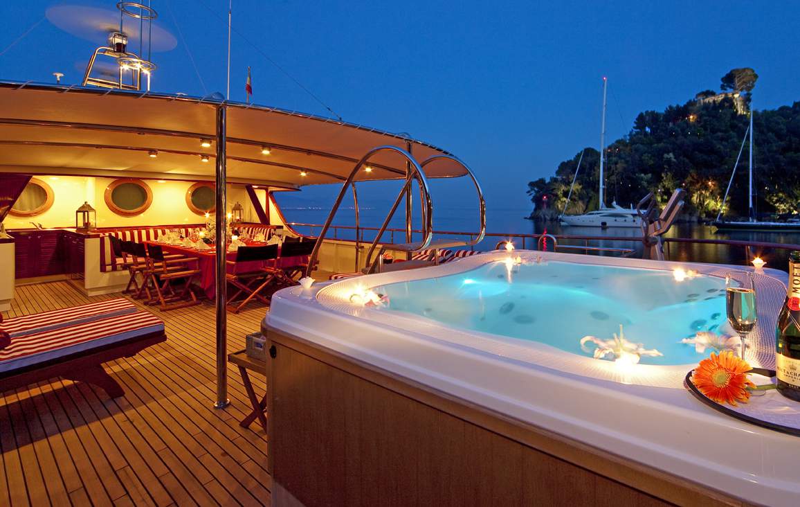
Freeexcursion.com – Cap Cana
Looking for a real adventure? Horseback riding, mountain biking, parasailing, rain forest hiking, and 4×4 off-roading are just a few examples of what you can…
-
The Capital – Santo Domingo
Santo Domingo (Spanish pronunciation: [ˈsanto ðoˈmiŋɡo], Saint Dominic) known officially as Santo Domingo de Guzmán, is the capital and largest city in theDominican Republic and is…
-
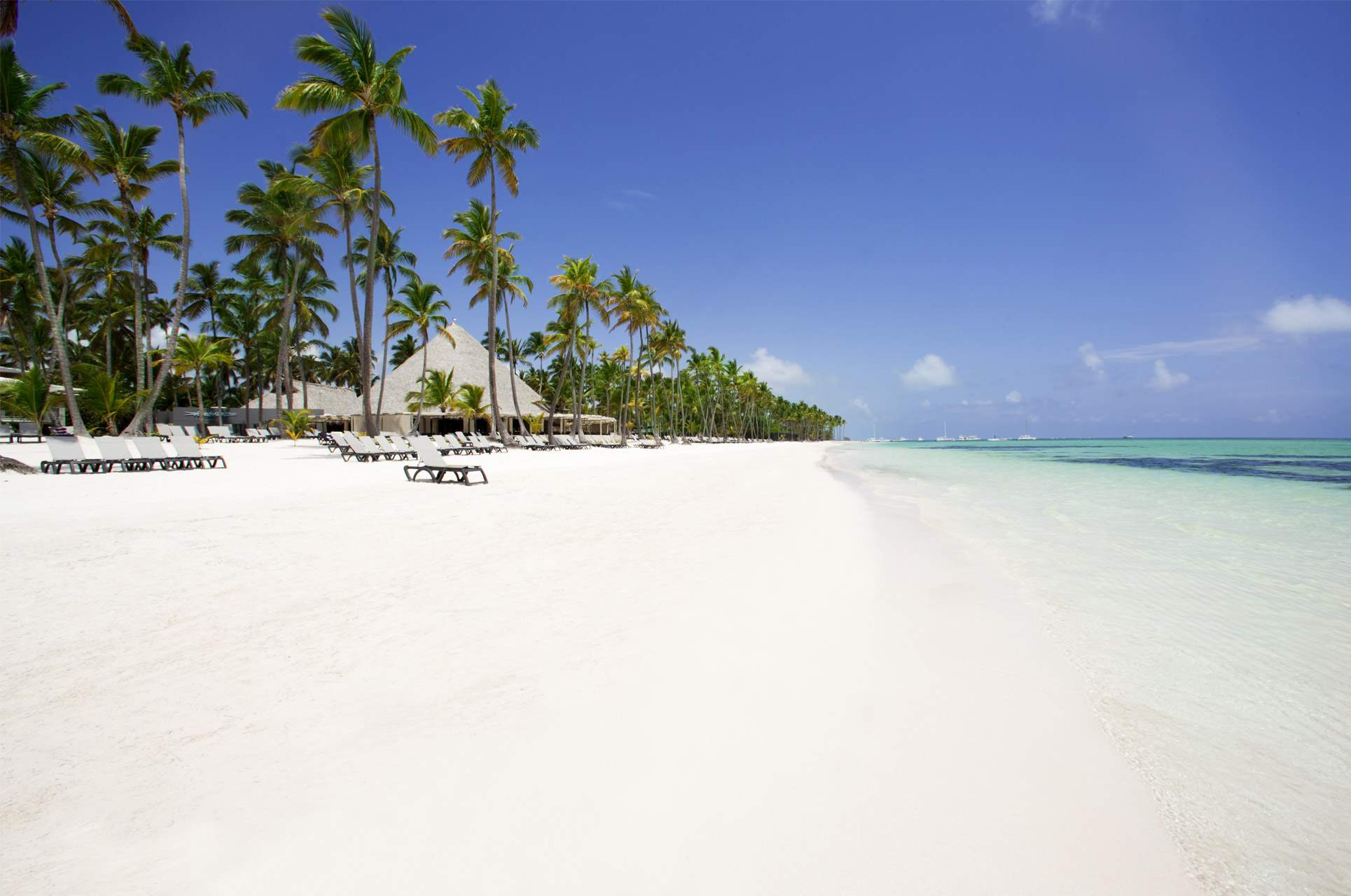
Bavaro – Dominican Republic
Bávaro is a tourist area in Punta Cana, located in La Altagracia province, the easternmost province of the Dominican Republic.[1] Bavaro was developed together with…
-
Cap Cana – the project city
CAP CANA (Spanish pronunciation: [kapˈkana]) is a master-planned, gated, multi-use luxury resort and real estate community located adjacent to the Punta Cana international airport on the…
-
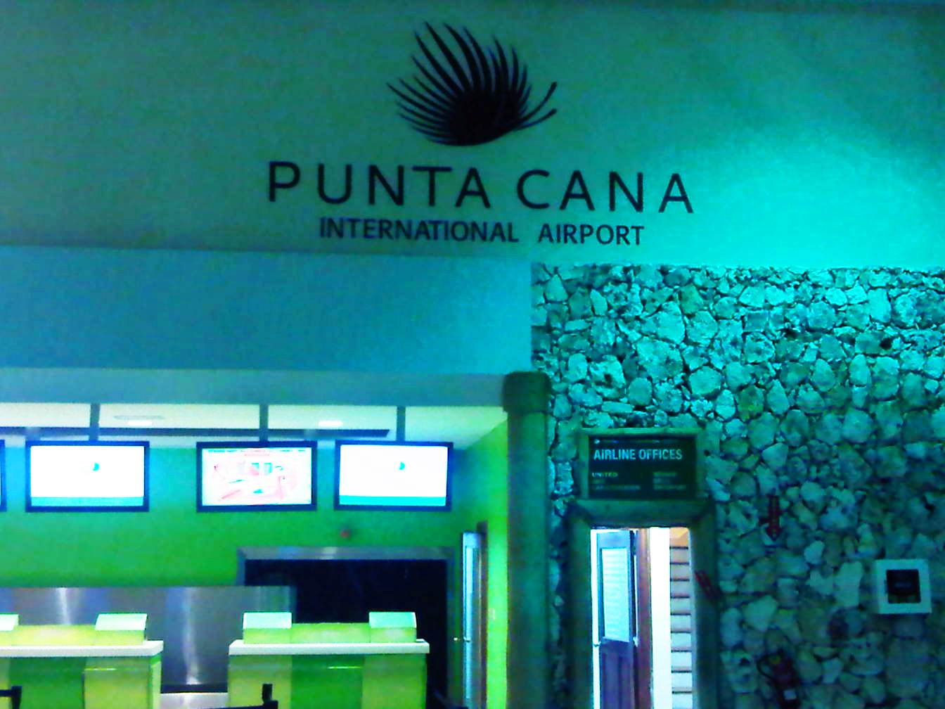
Punta Cana – Dominican Republic
Punta Cana is part of the Punta Cana-Bávaro-Veron-Macao municipal district, in the municipality of Higüey, in La Altagracia Province (the easternmost province of theDominican Republic).…
-
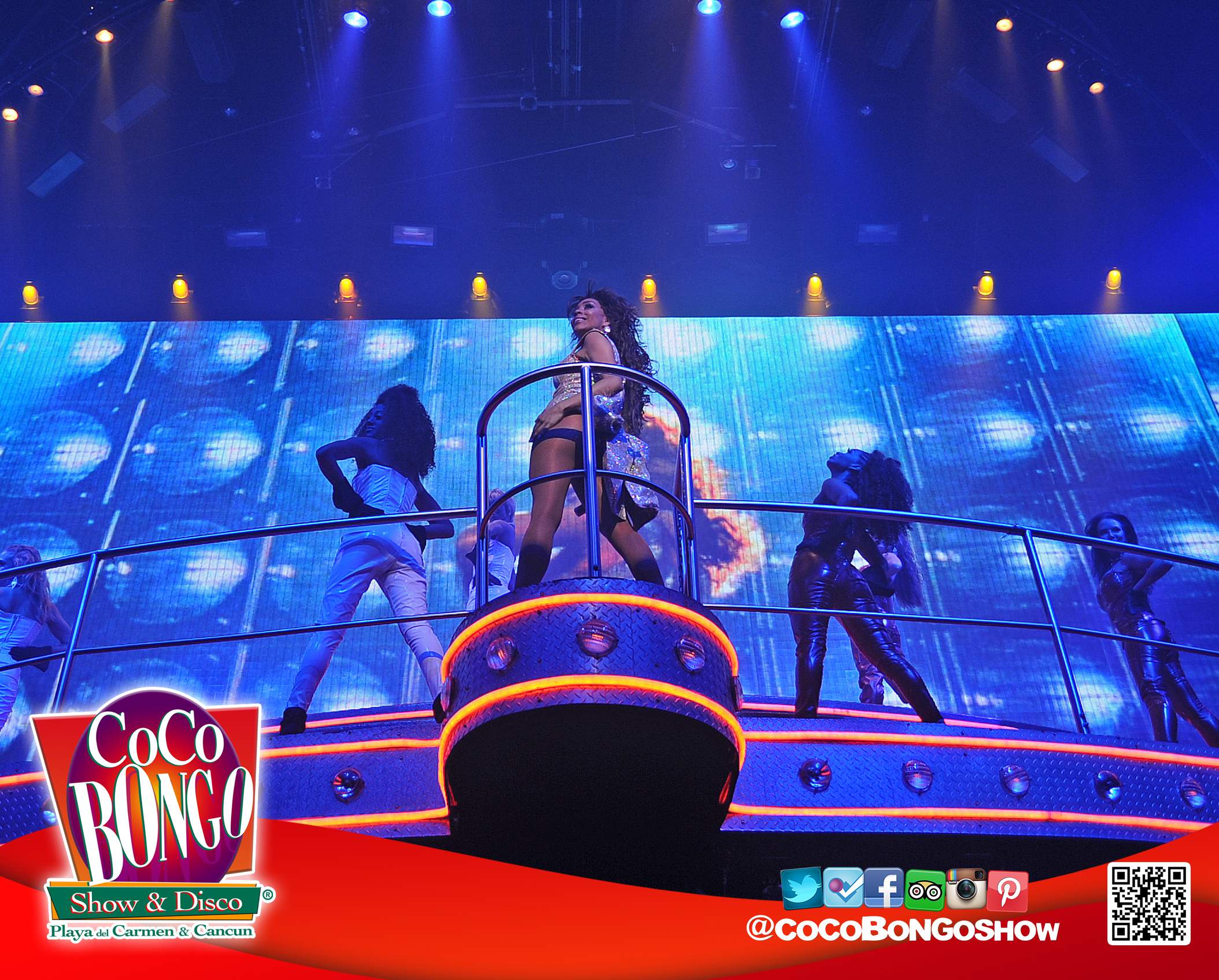
Coco Bongo – Punta Cana
GRAND OPENING of the new Coco Bongo Show & Disco this 2014.Coco Bongo Show & Disco will arrive at unbeatable destination of PUNTA CANA…